

Book today for 1 - 84 day rentals
Our best prices are always available online for cars across Ireland.
Book Today

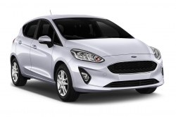
Our best prices are always available online for cars across Ireland.
Book Today
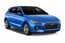
However long you need to rent, we can help. Complete our enquiry form.
Enquire Now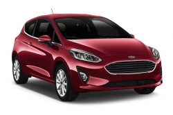


Would highly recommend. I have hire fron this company each time I need a hore vehicle and have never been disappointed
Anna, Ireland, June 2023I would definitely do it again. The process was easy and the car was clean and handled well.
Laura, USA, July 2023Really made the whole experience very easy - will definitely use again
Paul, UK, July 2023Great car, no problems 👍
Robert, USA, July 2023We would love to use your company again in the future.
Camilla, UK, July 2023Great experience at Shannon airport
Colin, UK, June 2023The entire staff from check-in, to shuttle, to return, was FABULOUS!
Ed, UK, July 2023No problems with the hire,,thank you...
Sean, Ireland, June 2023It is a smooth process and very customer focused!
Mark, US, July 2023Our hybrid vehicle was very economical, boot space was restricted. We were very happy with our Europcar experience.
Brian, USA, July 2023Overall a great experience
Megan, UK, July 2023Sean attended to us at the service counter in Dublin. He was friendly, attentive and professional throughout our interaction. He also went the extra mile to make our rental experience a pleasant one.
Lee, Germany, July 2023Helpful, friendly staff at both pick-up and drop-off
David, Belgium, June 2023staff at the counter and at returns were great, vehicle was very nice
Ken, USA, June 2023Quick pick up and drop off process and we loved our car and the freedom it provided on our vacation.
Jeremy, USA, June 2023


You will need your licence and payment card for booking your rental online and for signing the rental agreement at the pick up desk.
We cannot accept any temporary licences, certificates or letters stating the driver has a licence if it is not present on collection. All drivers must have their physical licence present on arrival for a vehicle to be released.
At the commencement of rental, drivers must meet the requirement for licence eligibility. If the number of years is 8, this does not mean that the driver must have held their licence for 8 years - it means they must have been eligible to hold their licence for 8 years.
At the time of pick up, the person renting the car must be present to sign the rental agreement and provide their debit or credit card.
Additional drivers must be present at time of pick up and must fulfil the same age/licence criteria as the principal driver.
Bookings made through Irishcarrentals.com can be amended on Manage Bookings. Free changes 4h before pick up.
Yes. At Irish Car Rentals, we have one of the biggest and most modern fleets in Ireland for business.
You can choose from passenger vehicles, commercial or speciality vehicles – all of which can be customised internally or externally if required and delivered to you anywhere in Ireland.
Yes. Irish Car Rentals is not a third party or broker site. We deal directly with customers and offer flexibility in their bookings.
You will be able to amend or cancel your bookings yourself on the website.
With GoCar by Europcar service, you get to skip the rental desk, go direct to your car and drive away. All via your smartphone!
Learn more
IrishCarRentals.com have a large fleet of cars, electric & hybrid cars, and vans for rent across Ireland and flexible solutions that adapt to your needs.
Long term car rentals Business solutions


